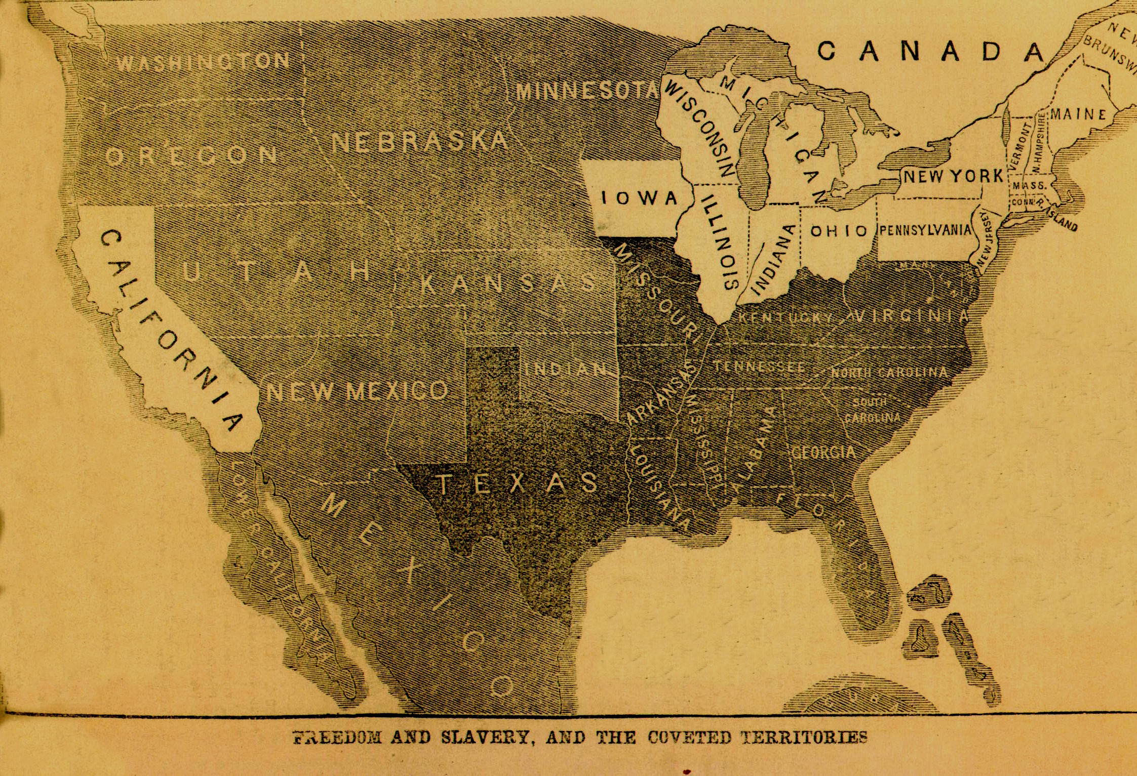
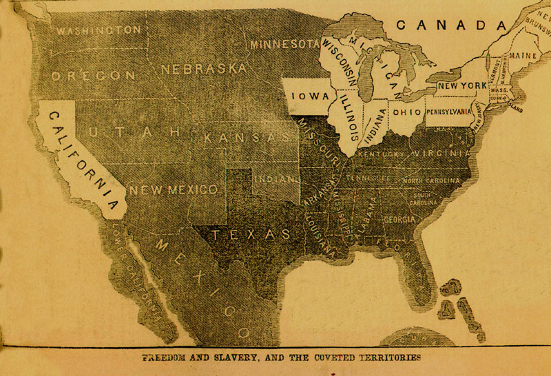
1856: Territories Map
Dublin Core
Title
1856: Territories Map
Subject
1856
Description
This oil on canvas, thought to be commissioned by John Hancock, shows Samuel Adams pointing to legal documents on a table.
Creator
Submitted by Malachi McCaulley (malachi.mccaulley@uvm.edu) on 2005-04-22T19:26:11ZNo. of bitstreams: 2hstam1856-territories.tif: 10328562 bytes, checksum: 2af7d08a272b4a9d3a0dd21a5d1a89bc (MD5)hstam1856-territories.jpg: 158019 bytes, checksum: 7605ff60fbb553c004a488b2bd0dc4d2 (MD5)
Source
King, David C. Children's Encyclopedia of American History. New York: DK Publishing, 2003. p. 99.
Date
2005-04-22T19:26:11Z
Type
Image
Still Image Item Type Metadata
Original Format
image/tiff
Physical Dimensions
10328562 bytes
About the Original Item
- Date Added
- November 30, 2009
- Collection
- Trees
- Item Type
- Image
- Citation
- Submitted by Malachi McCaulley (malachi.mccaulley@uvm.edu) on 2005-04-22T19:26:11ZNo. of bitstreams: 2hstam1856-territories.tif: 10328562 bytes, checksum: 2af7d08a272b4a9d3a0dd21a5d1a89bc (MD5)hstam1856-territories.jpg: 158019 bytes, checksum: 7605ff60fbb553c004a488b2bd0dc4d2 (MD5), “1856: Territories Map,” Omeka@CTL, accessed April 23, 2024, http://libraryexhibits.uvm.edu/omeka/items/show/336.
- Associated Files


